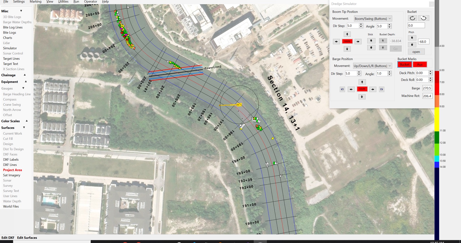
ClamVision imports survey data from hydrographic survey systems and uses it as the reference baseline for all volume calculations and grade comparisons.
Survey data formats supported
- LandXML — standard civil engineering survey format
- XYZ point files — plain-text soundings from any echo sounder or survey software
- DXF — design surfaces and survey contours from CAD packages
- Shapefile — GIS survey boundaries and surfaces
- KMall and S7K — native multibeam sonar formats from Kongsberg and Teledyne systems
Pre- and post-dredge survey workflow
A typical ClamVision project workflow:
- Import the pre-dredge survey to establish the existing bottom surface
- Import the design surface specifying the required finished depth
- Dredge while ClamVision tracks bites and updates the current work surface in real time
- Import post-dredge survey soundings for final volume verification
- Generate cut/fill comparison reports between pre-dredge, design, and post-dredge surfaces
ClamVision handles all surface differencing internally — no external GIS or CAD software is required.
Sonar data integration
ClamVision integrates directly with multibeam sonar systems for real-time bottom mapping during dredging operations:
- R2Sonic — direct data interface with R2Sonic multibeam systems
- S7K — Teledyne Reson multibeam format (real-time and file import)
- KMall — Kongsberg EM series multibeam format
- Nordredge — specialized dredge multibeam integration
- Single-beam echo sounders — serial or network connected depth sensors
Sonar returns are rendered as a live point cloud and can be used to update the current work surface continuously between bite passes.